The Virginian Railway built a generating plant at Narrows to power its electrified track between the West Virginia coal fields and Roanoke, Virginia. It was a massive building, with twin stacks soaring 285 feet into the air.
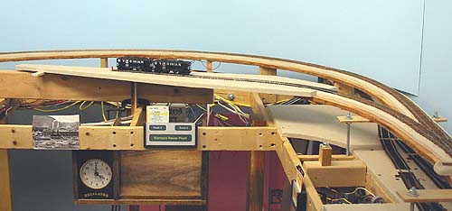
I will model the power plant - greatly-compressed, but still massive - with two spurs for coal hoppers. A railroad station will be located the outside of the curve. Nothing has been built yet, but I got tired of waiting and clamped-up a temporary piece of roadbed to hold a length of flex track. At least now there's another town the Radford Turn crew to switch.
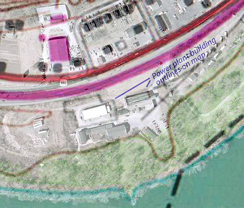
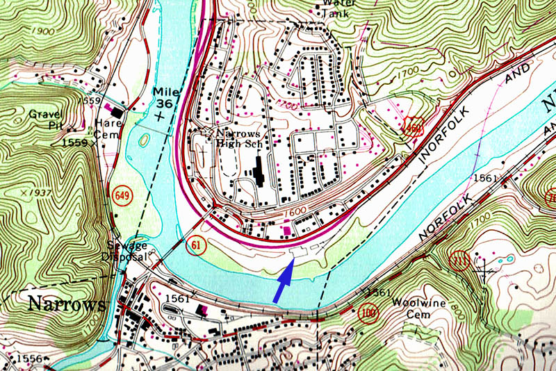
The power plant was demolished in the early 1970s, and no trace of it remains today. So where in Narrows was it located? This 1965 USGS map shows railroad tracks and building outlines that seem to match the plant (blue arrow).
Modern technology to the rescue! Google Earth contains detailed photos of the site, and a bit of fiddling in Adobe illustrator yielded this composite map and photo.